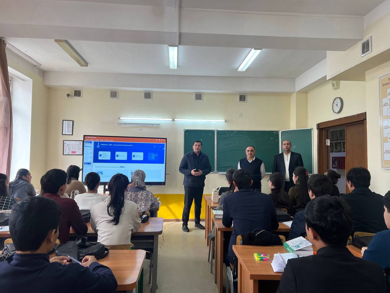
The faculty of the Faculty of Geography and Geoinformation Systems at the National University of Uzbekistan participated in the international scientific and practical conference titled “DIGITAL REALITY: NEW CHALLENGES IN CARTOGRAPHY, GIS, AND REMOTE SENSING”, which was organized on November 7-8, 2024, at Al-Farabi Kazakh National University in Almaty, Republic of Kazakhstan.
A meeting was held with the teaching staff of the Department of Cartography and Geoinformatics, during which an exchange of opinions took place on modern trends in the fields of geodesy, cartography, applied geodesy, the theory of mathematical processing of geodetic measurements, GNSS, and geodynamics. The lesson was organized for students of the following educational programs: 6B07301-Geodesy and Cartography, 6B07302-Geoinformatics, 6B07304-Cadastre.
The meeting considered the material and technical base of the department, as well as modern geodetic instruments, lecture halls, practical courses and laboratories intended for teaching disciplines related to geodesy, cartography, cadastre and GIS. The Kazakh-Chinese Joint Technologies for Remote Sensing of the Earth and the laboratory dedicated to their application were presented in detail. The areas of application of modern geodetic instruments, GNSS devices, Total stations, and Drones in the laboratory were also discussed.
The faculty of the Faculty of Geography and Natural Resources of Al-Farabi Kazakh National University and the faculty of the Faculty of Geography and Geoinformation Systems of the National University of Uzbekistan named after Mirzo Ulugbek have agreed to collaborate on writing scientific articles for journals indexed in Scopus, Web of Science and RSCI (RINC) databases, as well as on the development of modern scientific projects.
Information Service of NUUz

