E.Y.Safarov- Head of department
![]() 100174, Universitet street 4, Olmazor district, Tashkent
100174, Universitet street 4, Olmazor district, Tashkent
![]() Monday-Friday, 14:00 – 17:00
Monday-Friday, 14:00 – 17:00
![]() +998 97 751-27-16
+998 97 751-27-16
e-mail: safarov57@mail.ru
The Department of Cartography is one of the leading scientific, pedagogical and research centers in the country in the field of cartography. At the department there is a museum “Atlas Cartography”, which has a fund of long-term cartographic works, about 100 titles, organized by a research team led by prof. T.Mirzaliyev. At present, these scientific works are stored at the department headed by E.Y.Safarov. The department is recognized as the leading scientific school of geographical cartography in the country, its purpose is to study and develop scientific and practical issues of cartography based on cartographic research methods.
The Department of Cartography is one of the largest departments of the university and faculty. Currently, the department has full-time, part-time and evening forms of undergraduate studies in the specialty “60722500 – Geodesy, cartography and cadastre”. Students can continue their studies in the magistracy in the specialty “70722502-Geodesy and Cartography” and in the basic doctoral studies “11.00.06 – Geodesy. Cartography”.
Teaching disciplines in specialties is carried out by highly qualified professors and invited representatives of industry enterprises. Lessons are based on computer technology and advanced pedagogical methods.
History of the department. The department was founded in 1921 by professor N.I.Lebedensky. From 1921 to 1945, the department was part of various faculties. After the creation of the Faculty of Geography in 1945, the Department of Geodesy and Cartography taught the basics of topography, geodesy and cartography in various specialties.
In 1947, to meet the needs of the Central Asian republics in the field of cartography, the specialty “Geographer-Cartographer” was opened, for which 17 students were admitted.
In 1948, after the death of prof. N.I. Lebedensky, the department was headed by senior lecturer F.L.Tropkin, prof. I.G.Krasovsky, senior lecturer I.G.Chernyak, associate professor Ch.V.Galkov, prof. T.M.Mirzaliyev, associate professors Y.G.Brodsky, P.Y.Butenko, L.Kh.Gulomova, A.Egamberdiev, Kh.Mubarakov. Currently, the department is headed by Doctor of Technical Sciences, prof. E.Y.Safarov.
Currently, the department employs 1 doctor of sciences, professor, 3 candidates of sciences, associate professors, 2 senior teachers, 6 teachers who teach students the discipline in their specialty.
Disciplines taught at the department for bachelor’s and master’s degrees.
| № | Item name | Brief information about the subject |
| Bachelor’s degree | ||
| 1 | Computer graphics and card design | The science of computer graphics and map design develops students’ knowledge of how to prepare plans, maps and other graphic documents based on data obtained as a result of topographic and geodetic works. Cartographic works – form knowledge of the preparation and design of maps and atlases in accordance with the established rules and regulations. |
| 2 | Cartography | Teaching cartographic works that will be widely used in scientific research and economics, the development of cartographic literacy of students and the ability to draw conclusions based on the fact that cartographic works are a unique means of learning and changing nature. |
| 3 | Mathematical cartography | The purpose of the course is to provide students with knowledge about cartographic projections and their classification, the construction of conical, azimuthal, cylindrical and other projections, about errors in projections and the laws of their distribution, the definition of cartographic projections by the type of meridians and parallels. |
| 4 | Fundamentals of the State Cadastre | The purpose of the subject is the creation and maintenance of state cadastres with the aim of a single general comprehensive accounting and assessment of natural resources, material and spiritual wealth of the Republic of Uzbekistan. |
| 5 | Design and compilation of general geographic maps | Teaches the process of creating general geographic maps in the field and office conditions, preparation for publication and use. Ability to create and edit maps in cooperation with the state research and production enterprise “Cartography”. |
| 6 | Design and compilation of nature maps | Knowledge of the main directions of nature mapping, the features of geosystems, types of geographical patterns and natural relationships, comprehensive and systematic mapping of natural conditions and resources, the content of thematic maps of natural conditions on various topics, the development of legends. |
| 7 | Property valuation | The purpose of the science is to determine the main directions of development of appraisal activities, the features of the process of real estate appraisal in market conditions, the formation of a regulatory framework for appraisal activities. |
| 8 | Socio-economic cartography | The purpose of the science is to deepen research into new possibilities of cartography, develop a unified system of state reference maps and develop plans for their creation, develop skills in creating and processing digital images. |
| 9 | Cartography in Uzbekistan | The goal of science is to understand the content of thematic and complex maps and the similarities between them; thematic and complex mapping and how to use them; the use of maps and atlases as historical sources in various fields; main maps and atlases published in Uzbekistan and their content; use of special industry atlases; reading and analysis of maps and atlases; learn to use new technologies to create cartographic works. |
| 10 | Environmental cartography | The student must have a certain level of engineering knowledge to master this subject. During the course, students enrich their knowledge of cartography, geography, mathematics and other geosciences, as well as the basics of the state cadastre. |
| 11 | Design and compilation of cadastral maps | Maintaining the state cadastre system, determining the area and boundaries of natural and socio-economic resources, characterizing lands by type, quantity and quality, forming deeper knowledge about their mapping. |
| 12 | Demographic cartography | The purpose of demographic mapping is to teach students how to create and use demographic maps and atlases. |
| 13 | Topography, cartography and GIS | The goal of science is to solve various problems using topographic maps; measurement of angles, line length and relative heights; measurements with geodetic instruments (theodolite, levels); filming; to give knowledge about the reading, analysis and evaluation of maps and atlases. |
| 14 | Cartography and the basics of geodesy | The aim of the course is to develop students’ skills in using modern geodetic instruments in the design of hydrological and hydrometeorological engineering structures, as well as the ability to design and compile various hydrometeorological maps. |
| Master’s degree | ||
| 15 | Geoinformation cartography | The purpose of the course is to familiarize students with geoinformation systems (GIS) and technologies, cartography, GIS and remote sensing, geoinformation mapping, principles of classification of geo-images, cartographic, automatic, dynamic generalization, work with a specific GIS. |
| 16 | Satin cartography | The purpose of the course is to give students theoretical knowledge, practical skills and ability in the formation of cartographic atlases, the current state and prospects, characteristics, classification, components, types, methods of creating atlases. |
| 17 | Agricultural cartography | The aim of the subject is to create sectoral agricultural maps and atlases, reflecting the spatial and territorial position, the current state and prospects of agricultural production, which occupies one of the leading places in the national economy of Uzbekistan, as well as the economic and technical foundations of managing this sector, to form the necessary theoretical knowledge, practical skills and competence in publishing and using them in scientific and practical activities. |
| 18 | Cartography and geovisualization | The aim of the course is to provide students with information about cartography and geovisualization, identify models of the relationship between geoinformatics, cartography and remote sensing, know the methods and techniques of geovisualization in cartography, classification and coordination, and develop their skills. |
About researchers and research
| № | Name of the researcher | Scientific degree, title | Dissertation topic |
| 1 | Bekanov Kuatbai Koshkarbaevich | Basic doctoral student | Application of geoinformatics methods to optimize use in difficult environmental conditions of the Aral Sea region |
| 2 | Ergasheva Yulduz Khalilovna | Basic doctoral student | Basics of using digital maps to study and assess the combat situation on the ground |
| 3 | Ibragimov Orif Alikhamatovich | Self-employed applicant | Cartographic methods of using alternative energy sources in Uzbekistan |
| 4 | Muminov Abdujalil Abdusalom corners | Self-employed applicant | Development of scientific and methodological foundations for the creation of a web atlas of horticulture and viticulture in Uzbekistan |
| 5 | Sabirov Kakhramon Bektursun corners | Self-employed applicant | Improving the scientific and methodological base of geoinformation mapping of socio-economic characteristics of the population. |
Information about local and foreign partners.
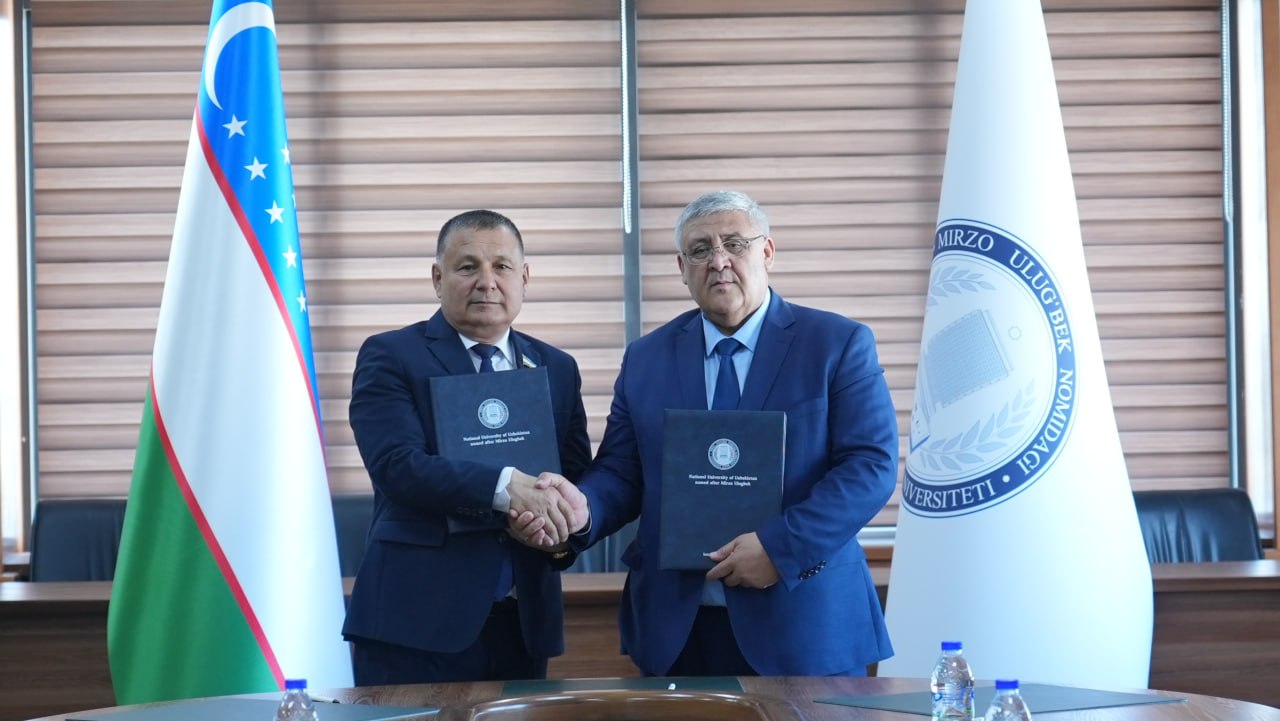
Currently, the department has established scientific cooperation with a number of foreign universities, including the universities of Western Hungary, Salzburg, Greenwich, Moscow State University, South Kazakhstan State Pedagogical Institute.
Since January 2013, the staff of the department has been actively involved in a large project of the European Union program TEMPUS (2012-2015) “TEMPUS GE-Uz: Geoinformatics: Ensuring sustainable development in Uzbekistan”. Within the framework of this project, 11 employees of the department studied at the training courses of the universities of Western Hungary, Salzburg and Greenwich and improved their qualifications.
In 2014, the department created an educational laboratory “Geoinformatics”, equipped with modern geodetic instruments, computers and geoinformatics programs.
Since January 2013, the staff of the department has been participating in the gSmart project of the Erasmus Mundus program (545696 – EM – 1-AT-ERA MUNDUS – EMA 21). Head of the department prof. E.Yu.Safarov worked as the coordinator of this project in Uzbekistan. Four undergraduate and postgraduate students have been trained at various European universities. Within the framework of this project, teachers of several universities in Uzbekistan (NUUz, Bukhara State University, etc.) traveled abroad to improve their qualifications. From September 2015 to June 2016, senior teachers of the department Abdullaev I.O. (Austria), S. Prenov (Hungary) and A. Ruziev (Netherlands).
Composition of the department
| № | Full Name | |
| 1 | Safarov Eshkobul Yuldashovich | safarov57@mail.ru |
| 2 | Egamberdiev Asomberdi | a.egamberdiev@nuu.uz |
| 3 | Salohiddinova Sevara Saidaminovna | s.salohitdinova@nuu.uz |
| 4 | Ibraimova Aziza Alimbaevna | azizaibraimova595@gmail.com |
| 5 | Muminov Abdujalil Abdusalom coals | a_muminov@nuu.uz |
| 6 | Ochilov Shodikul Shomurodovich | sh.ochilov@nuu.uz |
| 7 | Yusupov Bakhridin Normuminovich | bahridinyusupov@gmail.com |
| 8 | Uvrayimov Sunnatilla Tilaboy coals | u.uvraimov@nuu.uz |
| 9 | Bekanov Kuatbai Koshkarbaevich | quwatbay1989@gmail.com |
| 10 | Prenov Shavkat Mamatsolievich | sh.prenov@nuu.uz |
| 11 | Sobir Kahramon Bektursun coals | qaxramon_7333@mail.ru |
| 12 | Ergasheva Yulduz Khalilovna | ergayulduz8@gmail.com |
Circle
At the Department of Cartography, there is a scientific circle “Cartography and GIS-technologies”, in which undergraduate students 60722500 – Geodesy, Cartography and Cadastre will be able to receive information about industry news, modern programs outside the classroom.